

About project
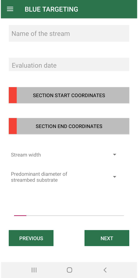
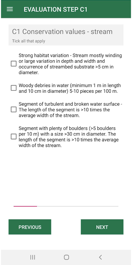
The methodology for assessing coastal zones of water bodies is developed for use in the countries of the Baltic Sea region, therefore the application is developed in 8 languages. The assessment consists of three stages: data collection, determination of the assessment and recommendations for maintenance activities, which are prepared based on the assessments. All information is stored in the phone’s memory, but the user can export them to a CSV file and transfer them.
Google Play address:
Blue Targeting application
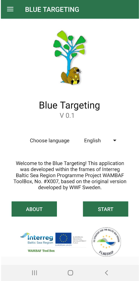
The application is developed for Android phones, using a local SQL database, as well as accessing file storage. The application reads the user's location (GPS coordinates) and displays it on Google Maps.


